Wiesbaden — Tracing the Demarcation Line
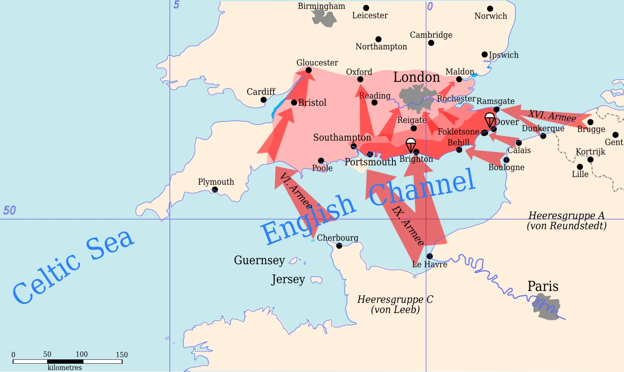
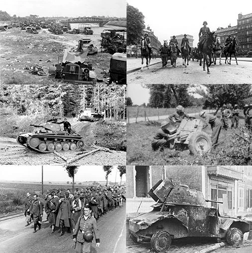
With the armistice in force from 25 June 1940 at 12:35 a.m., the Wiesbaden armistice commission must translate the division of France onto the map. The Rethondes text provides for the occupation of three-fifths of the territory, but the exact line of demarcation between occupied zone (north and Atlantic seaboard) and free zone (south) remains to be fixed by the German delegation.
The choice of route is anything but neutral. A line following departmental boundaries would be administratively simple. A strategically conceived line would cut railways, industrial basins and resources, maximising German control. A maximalist option would go so far as to detach whole regions — Alsace-Lorraine, Nord-Pas-de-Calais — from the rest of the country.
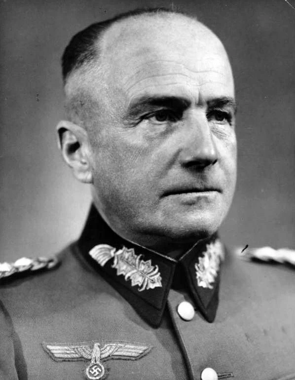
The commission, chaired on the German side by General von Stülpnagel, will become the permanent organ of armistice control. For the German negotiators, the aim is to organise lasting economic and military domination over France while leaving Vichy just enough territory and administration to manage the population at minimum cost to the Reich.
By what logic should Germany trace the demarcation line?
Germany in fact combines all three logics. The demarcation line follows departmental boundaries roughly (A) but with strategic inflections (B), while whole regions are placed under special regimes (C): Alsace-Lorraine annexed de facto, Nord-Pas-de-Calais attached to the military command of Brussels, a 'reserved' coastal zone and a 'forbidden zone.' France is fragmented into several zones. The demarcation line, some 1,200 km long, cuts through villages, families and activities: millions of people can no longer move freely in their own country. It will remain one of the occupier's main instruments of pressure until its abolition in 1943.
Learn more about this event
Related polls
10
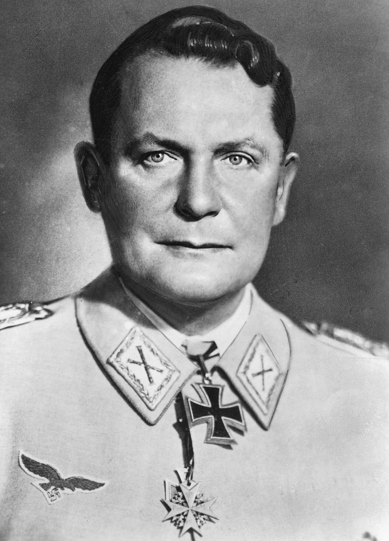
Goering at Carinhall — the promise to Hitler

Gibraltar after the rebuff at Hendaye
Hitler faces Sea Lion — September 17
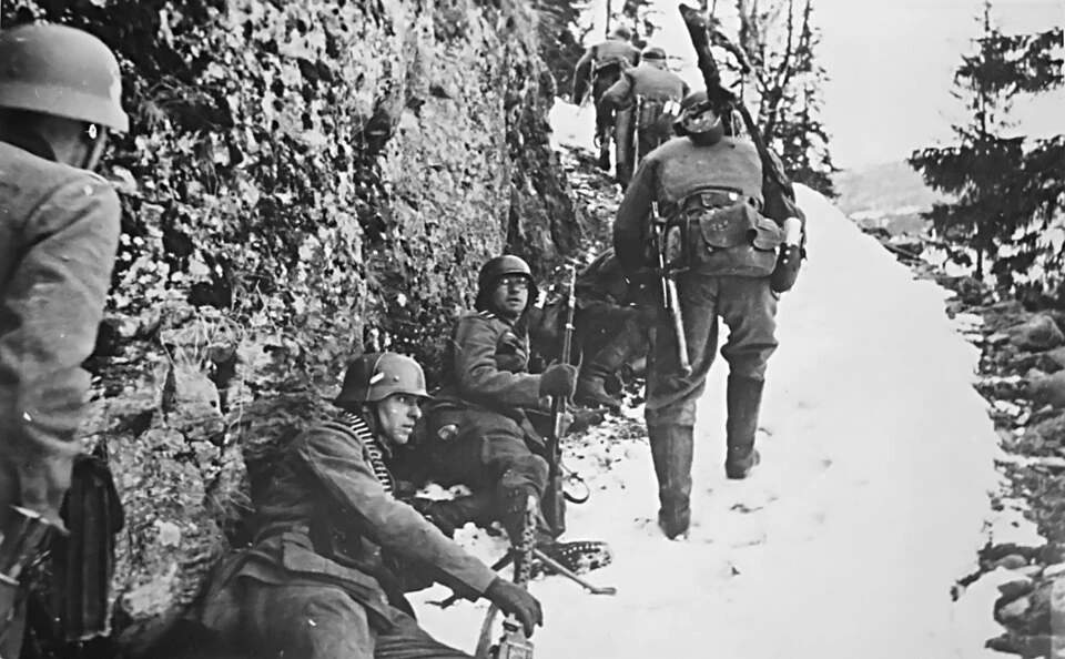
Saving an ally bogged down in the mountains
Weserübung — directive of 1 March
Brauchitsch — Reich Chancellery, 5 November

Hitler After Molotov — Berlin, November 1940
Hitler and Fall Gelb — 29 postponements
Hitler — the Eve of Barbarossa
Molotov in Berlin — November 12
Goering at Carinhall — the promise to Hitler
Gibraltar after the rebuff at Hendaye
Hitler faces Sea Lion — September 17
Saving an ally bogged down in the mountains
Weserübung — directive of 1 March
Brauchitsch — Reich Chancellery, 5 November
Hitler After Molotov — Berlin, November 1940
Hitler and Fall Gelb — 29 postponements
Hitler — the Eve of Barbarossa